-40%
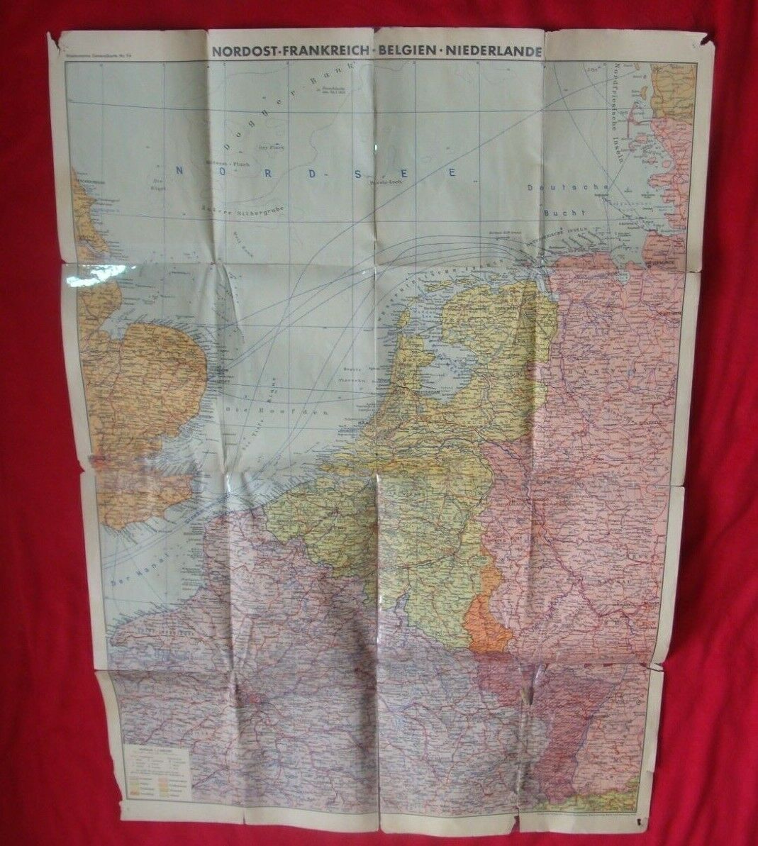
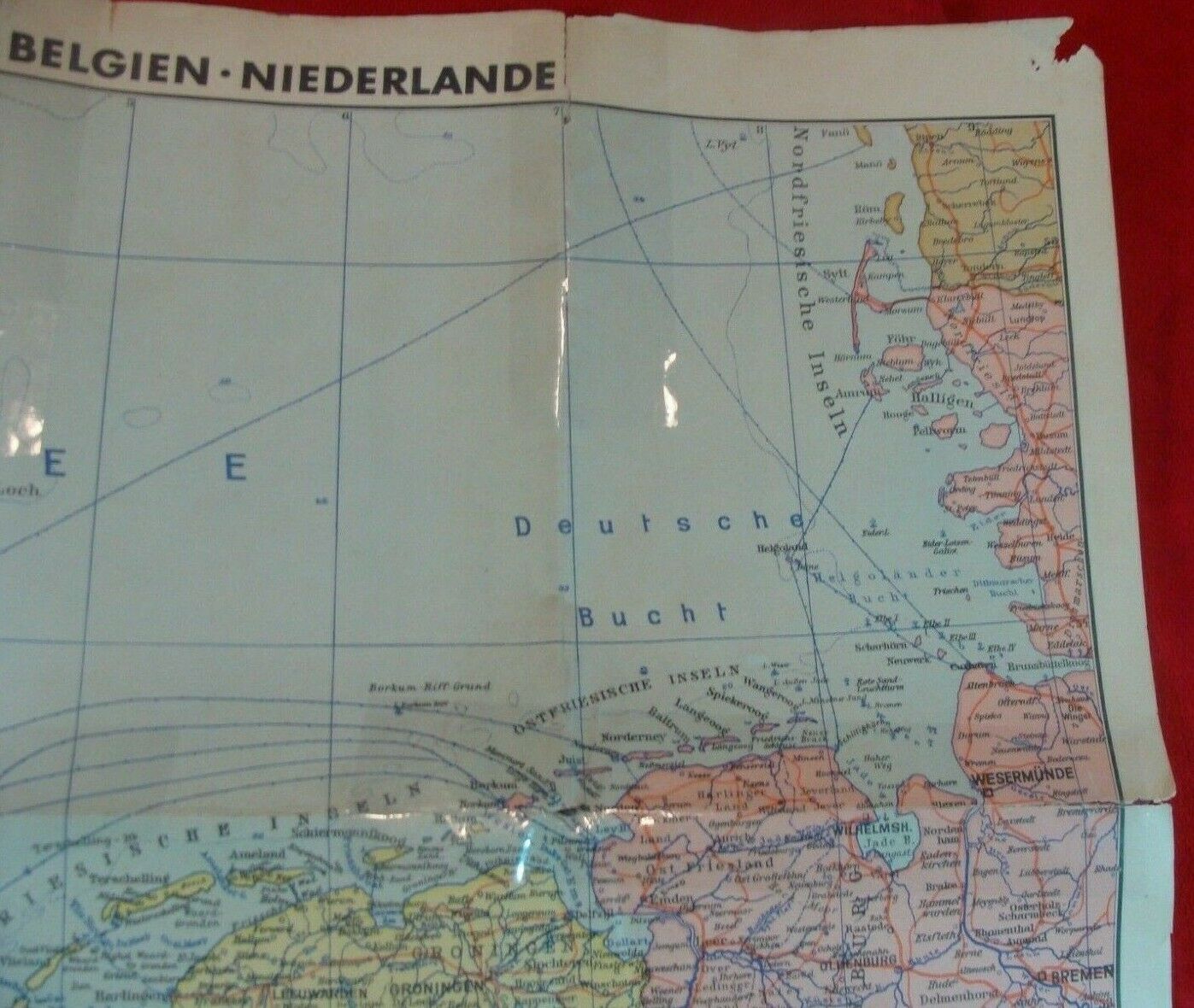
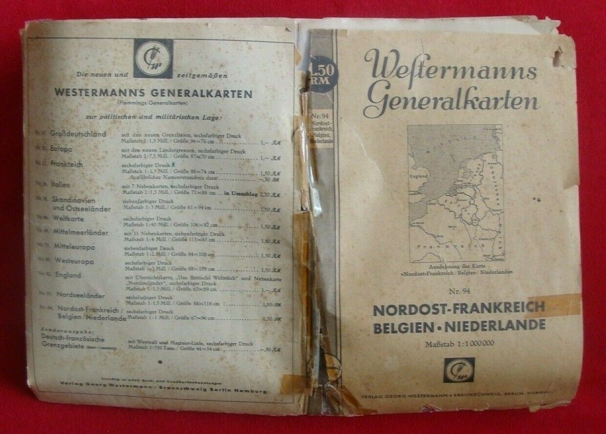
WWII 1940 GERMAN MAP of EUROPE ( NORDOST, FRANKREICH, BELGIUM, NETHERLANDS )
$ 198
- Description
- Size Guide
Description
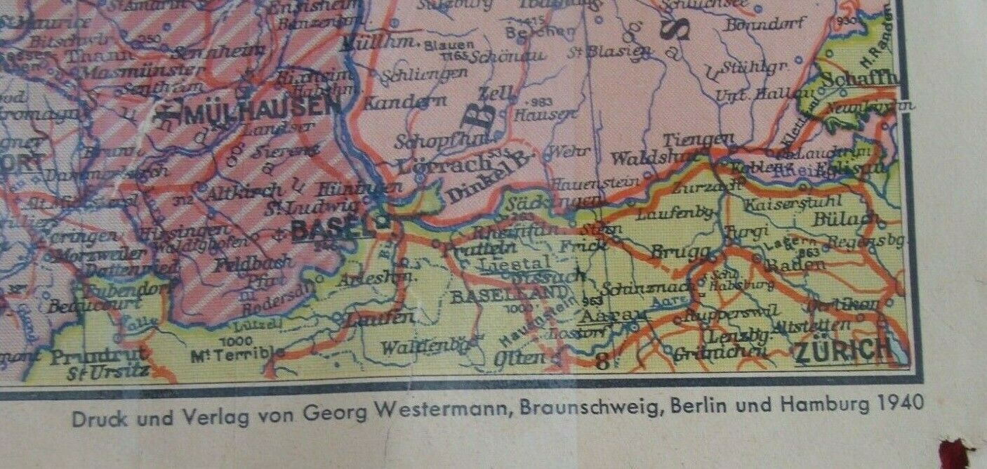
This is originalWWII 1940 GERMAN MAP of EUROPE : NORDOST, FRANKREICH, BELGIUM, NETHERLANDS. Map made in 1940 in Berlin and Hamburg. Map
shows the political situation in Europe in 1940, when most of the countries were captured by Germany. T
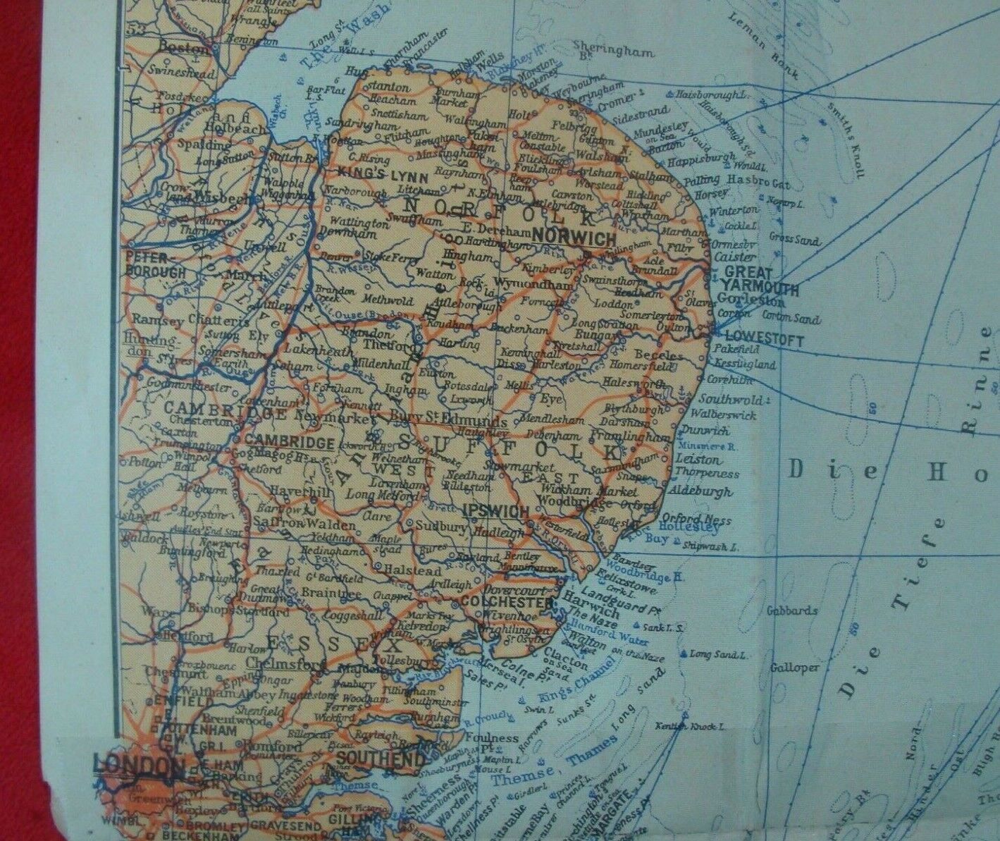
he map has been restored in several places.
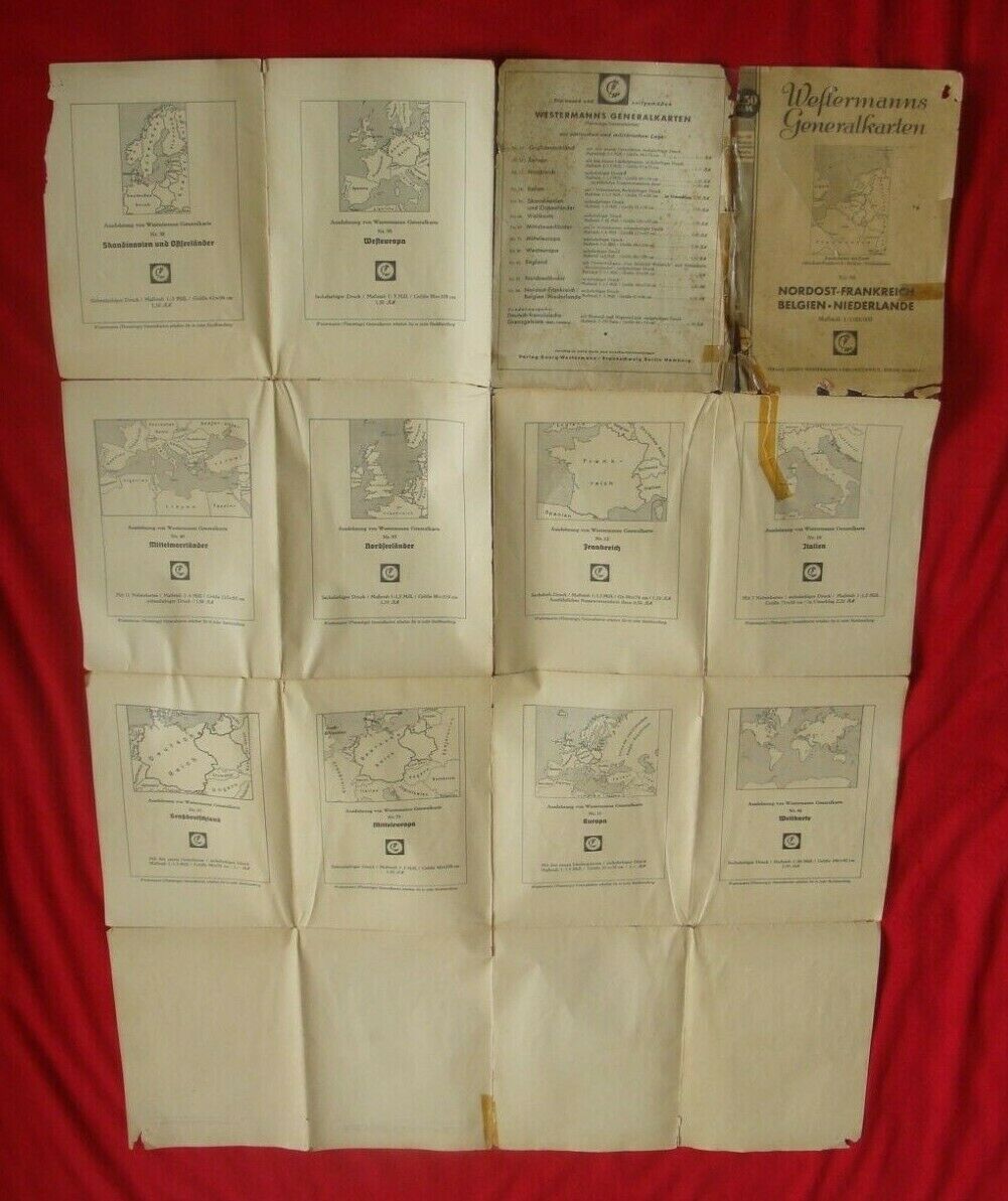
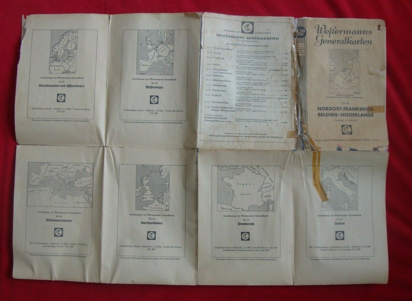
I had made pictures that serve as an additional description.
PAYMENTS:
I accept PAYPAL payments only!
SHIPPING: I do not ship to Australia.
INTERNATIONAL BIDDERS: Import duties, taxes and charges are not included in the item price or shipping charge. These charges are the buyer's responsibility. I do not mark merchandise value below value price or as a gift.
